
Ancient writers
Claudius Ptolemy
A second-century geographer whose place names and coordinates remain important—and challenging—evidence for ancient Britain.
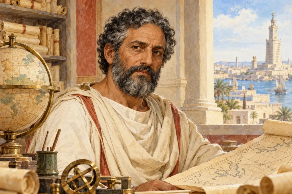
Claudius Ptolemy worked in Alexandria and wrote on astronomy, mathematics and geography. His Geography sets out a framework of named places and coordinates from which maps can be constructed. The section on Albion, Britain, includes coastal features, communities and settlements.
The apparent precision of coordinates can be misleading. They preserve ancient information and later manuscript transmission, not modern satellite positions. Proposed identifications need to account for spelling variants, geographical sequence and archaeological evidence rather than matching a number to a modern map without adjustment.
One famous problem is the eastward turning of northern Britain in the Ptolemaic framework. Scholars have investigated how earlier sources and different kinds of geographical information may have contributed. The distortion is a research question, not evidence that the shape of the land physically changed.
The linked online translation comes with strong editorial cautions about its accuracy. Use it for orientation alongside the introduction and scholarly discussion, and check a modern critical edition for detailed work. A later manuscript map should also be dated as a manuscript, not presented as Ptolemy’s surviving original drawing.
Context and evidence
Ptolemy’s exact life dates are not securely known. His coordinates and names are valuable evidence when their transmission and limitations remain visible; they should not become unquestioned modern locations.
Sources and further reading
Romans in Britain · People · Places · Learning resources